Santa Fe
Quick Info
Province of Santa Fe
Arg Plan CR-1 Sheet 25
BA Chart 2039/1982 B
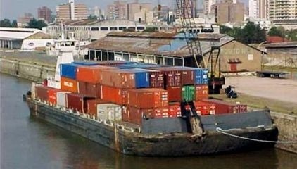
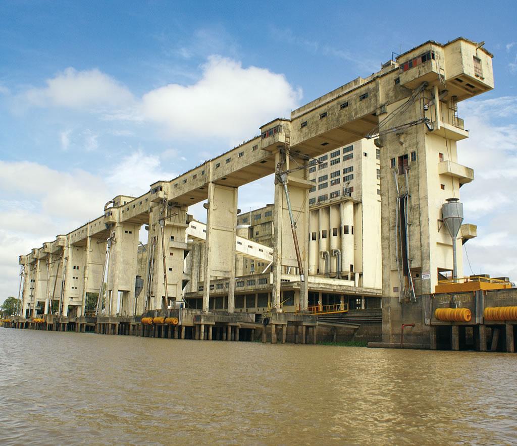
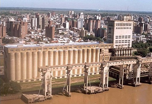
Specialities and port connections
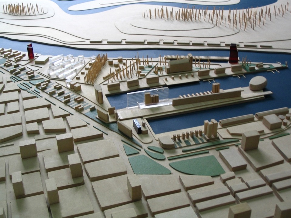
General description
This city, the capital of the province of Santa Fe, has 490.000 inhabitants (including the greater Santa Fe area) and is the seat of the provincial government. It is an important commercial and farming center. It is in the middle of a rich farming region and it is the main milk producing area in the country (and one of the most important in the world) that extends into the east of the province of Córdoba. Served by the Belgrano railway, it is thus connected with the north, northwest, Bolivia, Chile and the city of Buenos Aires south. The road network is important: a tunnel under the river connects Santa Fe to Mesopotamia region, Brazil, Paraguay and Uruguay; to the west it is connected with the Pampa region, and other destinations such as Coquimbo and Valparaíso in Chile. Towards the north there are alternatives to reach Bolivia and Paraguay and towards the south it connects via freeway with Rosario and Buenos Aires. In the nearby is a domestic airport and 160km away there is an international airport at Rosario.